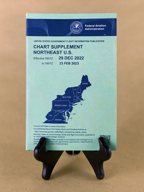
Description
This Chart Supplement is a joint Civil/Military Flight Information Publication (FLIP), updated every 8 weeks by the U.S. Department of Transportation, Federal Aviation Administration, and Aeronautical Information Services.
It is designed for use with Aeronautical Charts covering the conterminous United States, Puerto Rico, and the Virgin Islands.
The Airport/Facility Directory section contains all public-use airports, seaplane bases and heliports, military facilities, and selected private use facilities specifically requested by the Department of Defense (DoD) for which a DoD Instrument Approach Procedure has been published in the U.S. Terminal Procedures Publication. Additionally, this publication contains communications data, navigational facilities and certain special notices and procedures.
Military data contained within this publication is provided by the National Geospatial–Intelligence Agency and is intended to provide reference data for military and/or joint use airports. Not all military data contained in this publication is applicable to civil users.